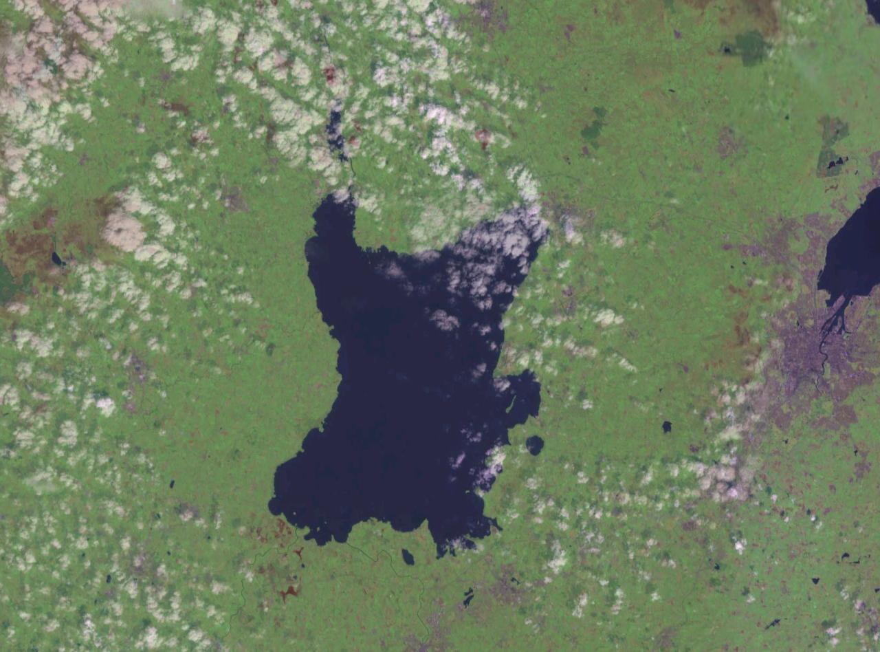
The Northern Ireland Executive announced the second phase of the Lough Neagh Water Quality Dashboard on 30 September 2026.
DAERA Minister Andrew Muir stated that the update provides a single online resource for environmental information regarding the lake.
Nine new laboratory-analysed monitoring locations have been added to track water chemistry, nutrients and algal growth around the Derry shore.
The sites include Ballyronan, Bartin's Bay, Cranfield, Derryadd, Moore's Point, Rea's Wood, Stanierd's Point, Toome Bridge and Washing Bay.
This expansion builds on phase one, which featured three near real-time stations within the Lough itself.
Existing instruments continue to deliver high-frequency data while probes in six principal tributaries supply further observations.
The dashboard draws on information collected since 2025 with monitoring activities ongoing throughout 2026.
Data can be accessed and downloaded from the DAERA website for use by individuals, researchers and organisations.
The project was developed under the Lough Neagh Report and Action Plan as part of the emerging Lough Neagh Science Platform.
DAERA intends to keep developing the tool in stages as more suitable research information becomes available.